January 14, 2026
Scanning the Invisible: LiDAR L2 Survey
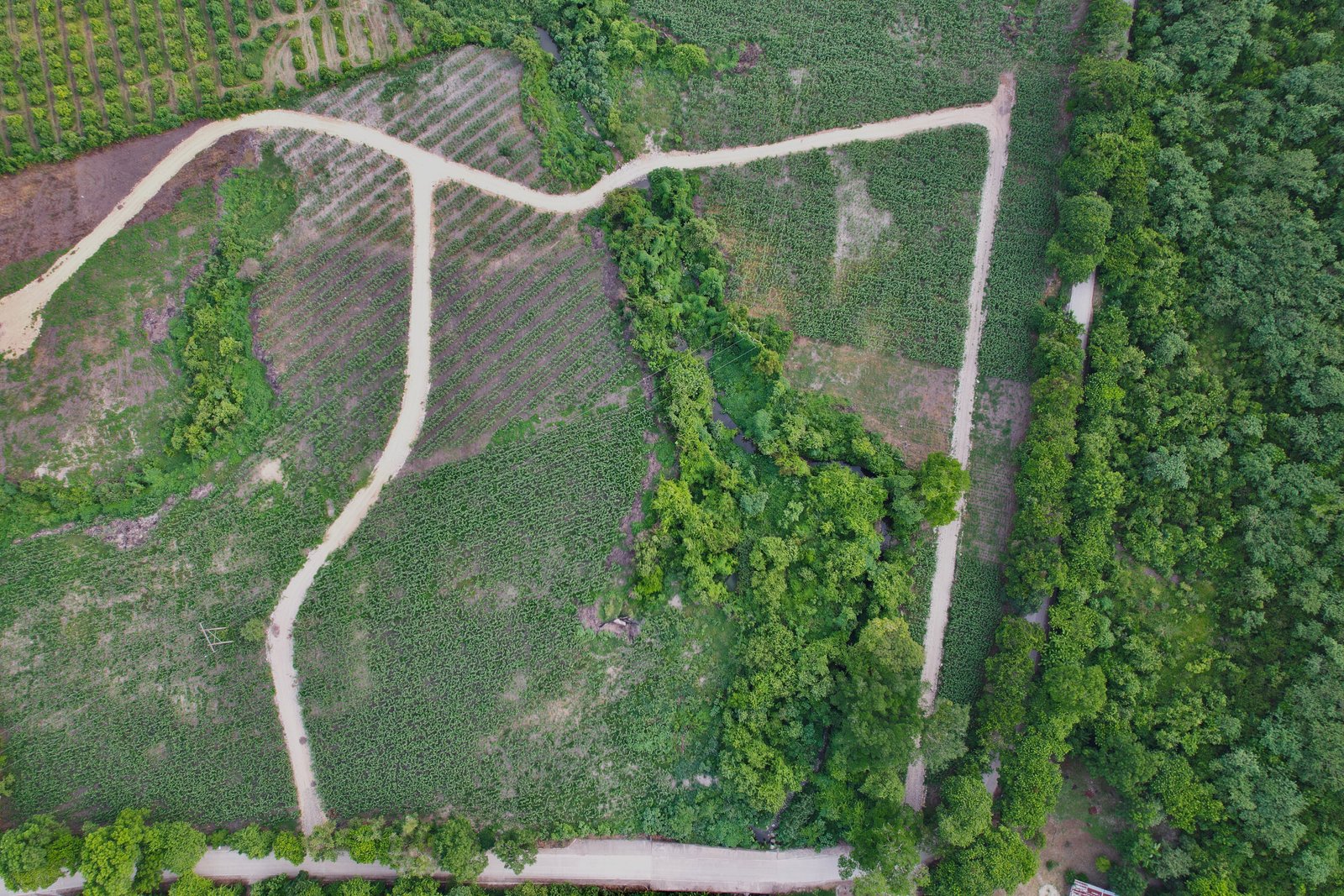
Today we take precision agriculture to the next level. We deployed the Matrice drone with LiDAR L2 module and RTK3 to perform a complete three-dimensional scan of the plantation. Unlike traditional photogrammetry, LiDAR laser pulses have the unique ability to penetrate gaps in vegetation.
The result? A 3D point cloud revealing the exact soil topography hidden beneath the vegetation layer. This "X-ray vision" is fundamental for evaluating natural drainage, calculating real biomass, and optimizing crop management with centimeter-level precision.
Technical Fact:
"RTK (Real-Time Kinematic) technology allows us to georeference each tree with millimeter accuracy, creating a digital twin of the reserve."